

4 Bay Area locations sinking at concerning rate, NASA study reveals
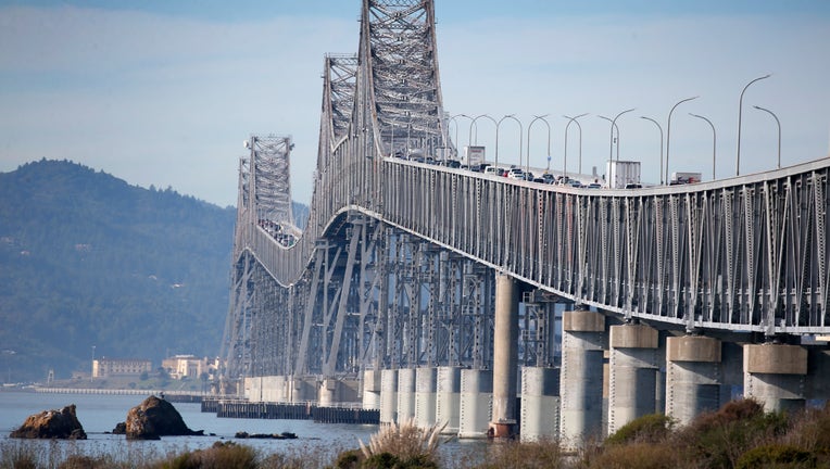
Vehicles travel across the Richmond-San Rafael Bridge in Richmond, Calif. on Tuesday, Dec. 31, 2019. State assemblyman Marc Levine is urging Caltrans consider rebuilding the aging span that links Marin and Contra Costa counties. (Photo By Paul Chinn/
FOSTER CITY, Calif. - NASA researchers have discovered that four Bay Area locations are sinking at a concerning rate, potentially increasing flood risks as sea levels rise, according to a recent study.
Driving factors
What they're saying:
Researchers project that sea levels in California will increase between 6 and 14.5 inches by 2050, compared to levels in 2000. The rise is largely driven by melting glaciers and ice sheets, along with warming ocean water.
Bay Area hot spots
Why you should care:
By analyzing radar measurements and velocity data, researchers identified several hot spots along the California coast that are more vulnerable to rising sea levels. They compared images of the same locations in the San Francisco Bay Area taken between 2015 and 2023 and found that San Rafael, Corte Madera, Foster City, and Bay Farm Island—located within Oakland and Alameda—are sinking at a steady rate of more than 0.4 inches per year, largely due to sediment compaction.
In those areas, sea levels could increase more than 17 inches by 2050, more than double the regional estimate of 7.4 inches.
Researchers also found sinking marshlands and lagoons around San Francisco and Monterey bays, and in Sonoma County’s Russian River estuary. Erosion in these areas likely played a key role, according to the study.
What is sediment compaction?
This process occurs when sediments are deeply buried and placed under pressure from the weight of overlying layers, as explained by the Geological Society. The grains are more tightly compacted. As those low-lying areas sink, they then become more exposed to the rising seas.
Not all of California
The study pointed out that not all coastal locations in California are sinking, such as Santa Barbara and Long Beach. Researchers mapped uplift hot spots in Santa Barbara's groundwater basin, which has been steadily releasing since 2018. In Long Beach, they found that fluid extraction and injection associated with oil and gas production are factors.
The Source: NASA and the Geological Society