PG&E's and its various types of meteorologists
SAN RAMON, Calif. - Even as the climate changes as the wet season becomes wetter and the dry season becomes drier, PG&E has to evaluate its territories for the harsher impacts of extreme weather events. They use a different type of meteorologist each time they predict what Mother Nature has in store during severe weather.
Because PG&E has such a vast territory, its meteorologists have to look at the very big picture. They break that down into tiny little squares, to know what's going in every place within that system.
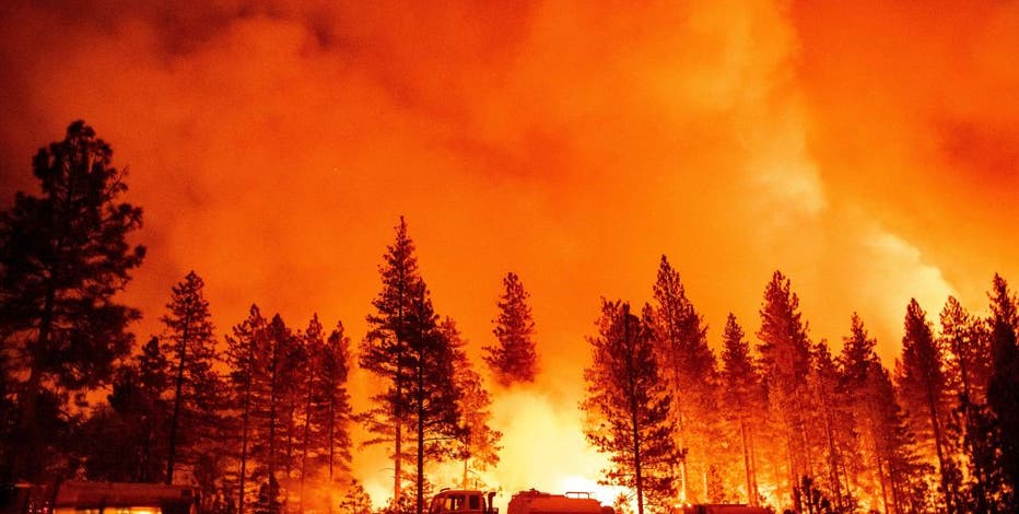
California's bumper crop of well-watered green grasses, now drying out, will turn California into the Golden State. Even before the wet season is over, PG&E's meteorology staff is already looking into where the worst wildfires are likely to spring up.
The goal: know where growing grasses, brush and bushes might allow fire to burn up into tree canopies, setting off fierce wildland fires.
"The precipitation we have seen, the snowpack, according to all the national agencies, delay the start or, at least, tamp down the start of fire season a good deal," said PG&E meteorologist Duffy, part of the team that uses every higher technology and historical data to determine where power crews need to be pre-positioned for outages and make repairs as quickly as possible.
Featured
Aging infrastructure, missing data, and backlog of repairs hamper PG&E
A new look at PG&E by independent monitors finds that the company is not keeping up with maintenance and replacement of vital equipment.
"Developing forecast products…so they can pinpoint how that weather is going to impact them," said Duffy.
In winter predicting how the weight of snow and freezing snow, at low altitudes will impact power lines, as well as the intrusive close-by vegetation. In spring, a quick melting snowpack melt will affect downstream towns.
"We have electrical assets that run through these areas…we need to know and understand if the snowmelt is going to accelerate where there's going to be flooding, where that could be a problem or our utilities," said Duffy. "We need to understand what is happening to each type of fuel class…to have a real good picture of what the fire danger is."
Forecasters analyze samples and concentrations of every possible fuel in each square; from grass to dead and dry trees to healthy trees. PG&E's 70,000 square-mile territory is analyzed and forecast in 87,000 individual map grids.
"Our job is to tell them where in their perspective area they need to focus," said Duffy.
Because we are in that special period between winter and spring, they're looking at the potential of a massive snowpack and massive fires.


