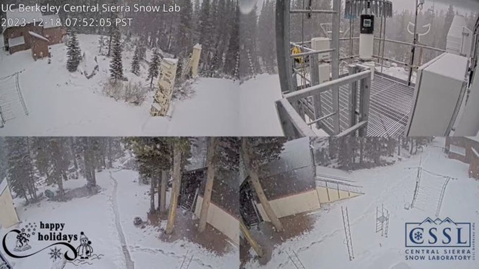
Winter storm brings wet week to UC Berkeley Central Sierra Snow Lab
SODA SPRINGS, Calif. - It's been a busy week at the University of California Berkeley Central Sierra Snow Laboratory. Experts with the lab say that this week's winter storm brought a mixture of snow and rain, which both melted and refreshed snow levels at the lab, which sits at an elevation of 6,894 feet.
The lab says that the area has received 80% of its normal precipitation to date, and the warm rain that fell this week has made up for some of the lack of snow this season. The lab has only seen 29 inches, or 37% of its normal snowfall at this point.
"The warmer nature of the storms this week translated to higher snow levels in the Sierra...generally above 7000 feet. At times, the snow level lowered to 6500 feet. The lab has reported just over 2" of snow over the past 24 hours," said KTVU Meteorologist Mark Tamayo.

Snow and rain fall over the Sierra at the UC Berkeley Central Sierra Snow Lab ((Photo courtesy of UC Berkeley Central Sierra Snow Lab))
"Long range forecasts are showing a potentially cooler storm that could bring Sierra snow after Christmas. The lab has over 70 instruments deployed on the property to study the new snow this winter," Tamayo said.
The lab says that the area needs the cooler storms with snow to help build up the snowpack. That snowpack is "vital" for late spring/summer water supply and ecosystem health, the lab said.
As Tamayo said, decent snowfall should come a couple of days after Christmas, but there's still plenty of time for that forecast to change.

