

California's water supply outlook for the next 12 months
Sacramento, California - The new water year begins on October 1 and it comes on the on the heels of one of the hottest and driest summers on record.
The California Department of Water Resources on Thursday briefed the media on expectations and preparations for the next 12 months. In fact, the DWR is masterful at managing water and it's getting better at gauging the water year's outlook.
At the moment, with respect to water, California finds itself in the ‘Goldilocks Zone’: not too little and not too much. Right now, California's six mega reservoirs average a Goldilocks level of 116% of their historical normal; a very good starting place for the coming rainy season.
Currently, our critical groundwater supply, water stored underground in aquifers, shows 29% of monitoring wells reporting below normal levels, 35% are at normal levels and 36% are actually above normal. That means that 71% of groundwater is at or above its normal levels.
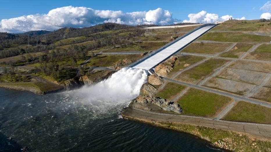
Oroville Dam releases water as part of a flood prevention effort ((Photo courtesy of CADWR))
But, without normal rain levels going forward, farmers will be forced to draw upon and deplete this critical resource.
"So, that's gonna carry us through this year from a water supply perspective, frankly, even if this year continues to trend dry," said DWR Director Karla Nemeth.
However, winters are very different now. "Our winters are now much more dynamic, and we think of it as more storm to storm rather than, 'Oh hey, we're in the wet season, we'll check back in once the wet season is over,’" said California State Climatologist Dr. Michael Anderson. "We are really in a state of preparing for extremes in the 2025 water year," said Director Nemeth.
In earlier decades, a La Nina, colder water in the tropical Pacific, generally indicated winter rain in California. "But look at the ten events in the 21st century and they come down as 7 dry and 3 wet," said Climatologist Anderson.
The DWR say the snowpack should start accumulating around the first of December, but climate change could favor higher, colder snowpacks. "We have mountains that are really high and as the world warms the high mountains can actually build up more snow than they used to," said Anderson.
A new and special consideration: "When you come off from a summer that's been as hot and dry as it has been, with again, a lot of fire activity, understanding how that impacts the landscape and how that sets us up for how water moves across that landscape," said Anderson. In other words, knowing more about how massive burn scars may change water flows will make water supply predictions far more accurate as well as pre-flood control preparedness.
Featured


Yet another atmospheric river is heading to the Bay Area, here's what you can expect
After a few sunny days, rainy weather is expected to return to the Bay Area.